


Art of map interpretation: Unveiling power, influence & propaganda in geopolitics Understanding world through maps
From historical claims to modern-day strategies, maps are more than mere geographical tools. They are powerful instruments of political assertion, military strategy, and public persuasion, shaping perceptions and actions in the complex landscape of global affairs. Maps are not just navigational tools; they shape geopolitics, influence public opinion, and guide military strategy.
Understanding the world through maps: The art of correct interpretation
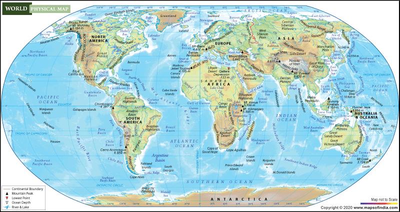
Maps have long been indispensable tools for navigating and understanding our world. They serve as visual representations of the planet, helping us grasp the geographical, political, and cultural landscapes that shape human interactions. However, the way we read and interpret maps can significantly influence our understanding of global dynamics. As George Friedman, a noted geopolitical analyst, once emphasized, proper map reading is crucial for comprehending international affairs.
The purpose & power of maps
Maps are much more than mere representations of geography; they are powerful tools that convey information about the world. They help us understand the spatial relationships between countries, the distribution of resources, and the physical barriers that influence political boundaries. However, maps are not neutral. The way they are designed, the elements they emphasize, and the perspectives they adopt can shape our perception of global realities.
For instance, the Mercator projection, one of the most commonly used map projections, distorts the size of landmasses as they approach the poles, making countries like Greenland and Russia appear much larger than they are in reality. This distortion can unconsciously influence our perception of these regions' importance and power. Understanding these inherent biases in map design is the first step toward a more accurate interpretation of global geography.
The political power of maps
Maps are not just passive depictions of physical space; they are active participants in the geopolitical arena. The borders, names, and symbols on a map can reflect and reinforce a state's sovereignty, territorial claims, and historical narratives. This makes maps a potent tool in the hands of states with expansionist ambitions or those seeking to assert dominance over a region.
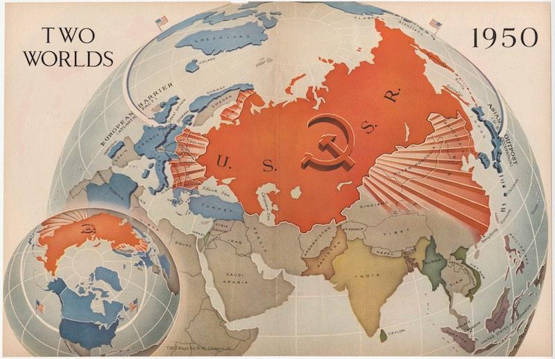
For example, the depiction of disputed territories on official maps can signal a state's intentions or claims. When Russia publishes maps that include Crimea as part of its territory, it is not merely an act of cartography but a statement of political reality as perceived by the Kremlin. Similarly, China's maps often depict the South China Sea as being within its jurisdiction, despite international disputes, reinforcing its claims through a visual assertion of sovereignty.
The "Greater Armenia" concept & its implications
The concept of "Greater Armenia" has been a recurring theme in Armenian nationalist discourse, often manifesting in the publication of maps that depict vast territories, including parts of modern-day Türkiye, Georgia, and Azerbaijan as Armenian lands. These maps, labeled "From Sea to Sea," ambitiously claim a stretch of land from the Caspian Sea to the Black Sea.
For Türkiye and Azerbaijan, these maps represent a challenge to their territorial integrity and sovereignty. The notion that significant portions of their land could be considered part of a hypothetical Armenian state is seen as both historical revisionism and a potential threat. These concerns are exacerbated by the fact that such maps are often used in educational materials, cultural exhibitions, and political rhetoric, reinforcing a narrative that conflicts with current geopolitical realities.
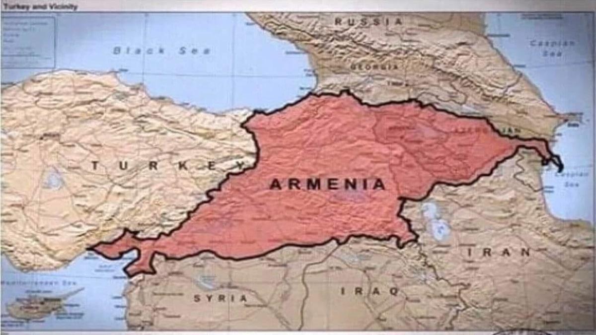
This cartographic narrative has also been leveraged internationally, where Armenian diaspora organizations and lobbying groups use these maps to advocate for the recognition of historical grievances and territorial claims. The portrayal of Armenia as a state historically spanning from the Caspian to the Black Sea is not just a matter of national pride for some Armenians; it is also a strategic element in the broader geopolitical contest over influence and control in the South Caucasus.
The geopolitical lens
George Friedman’s approach to map reading highlights the importance of viewing maps through a geopolitical lens. Geopolitics is the study of the effects of geography on international politics and relations. A map’s geography can reveal much about a nation’s strategy, vulnerabilities, and opportunities.
Take Russia, for example. A glance at a map shows a nation that is vast but vulnerable due to its lack of natural barriers and its history of invasions from the West. Understanding Russia’s geographical position helps explain its strategic imperatives, such as the need to control buffer zones in Eastern Europe and secure access to warm-water ports.
Similarly, China, bordered by the Pacific Ocean to the east and vast mountain ranges and deserts to the west, has historically focused on internal consolidation and coastal defense. As its economic and military power grows, its strategic interests have expanded, leading to initiatives like the Belt and Road.
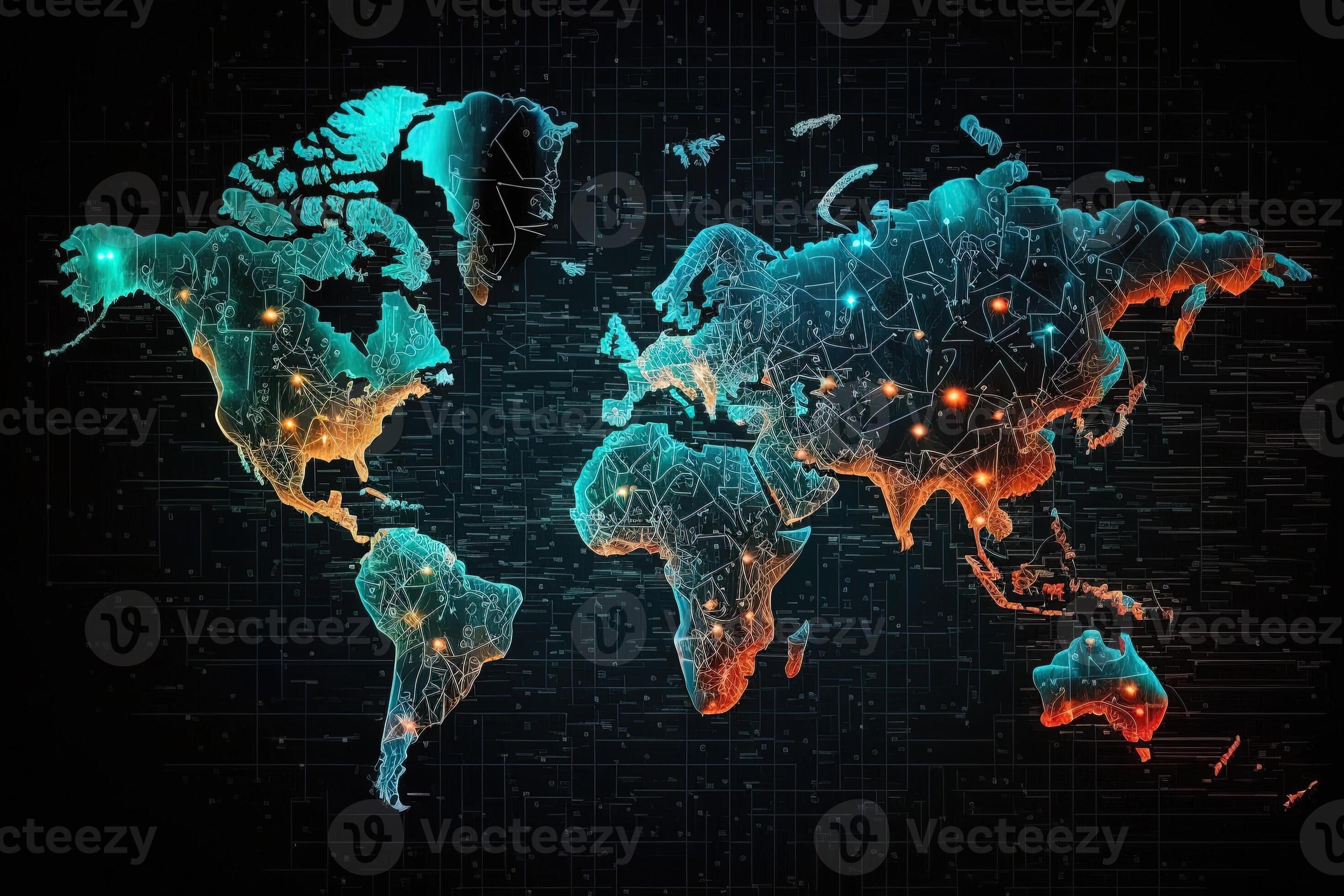
The role of technology in modern map-making
With the advent of digital technology, map-making has become more sophisticated, allowing for the creation of dynamic maps that can display various layers of information. These digital maps can show real-time data on everything from economic activity to military movements, offering a more nuanced view of global events.
However, the availability of so much information also requires careful interpretation. Analysts must sift through the data to identify the most relevant trends and avoid being overwhelmed by the sheer volume of information. Proper training in map reading and interpretation is more important than ever in this context.
Conclusion: The art of map reading
In conclusion, the proper and correct reading of world maps is an essential skill for anyone seeking to understand global dynamics. Maps are not just tools for navigation; they are instruments of power and knowledge. By learning to read maps with a critical eye - understanding their design, the geopolitical context, and the historical forces behind political borders - we can gain a deeper understanding of the world and make more informed decisions.
As George Friedman highlighted, maps are windows into the world’s complexities. They reveal not just where we are but why the world is the way it is. In a world where geography still shapes destiny, mastering the art of map reading is crucial for anyone involved in global affairs.


 editor@caliber.az
 +994 55 444-88-98
 Азербайджан, Баку, ул. Низами, 203, Af Business House, 5-й этаж