How tsunami research has changed 20 years following Indian Ocean catastrophe
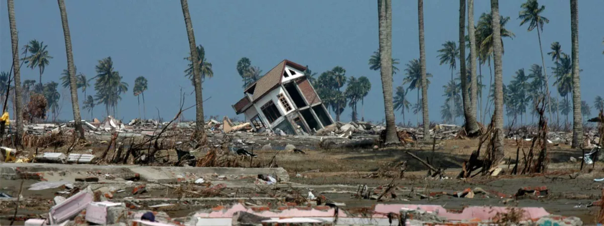
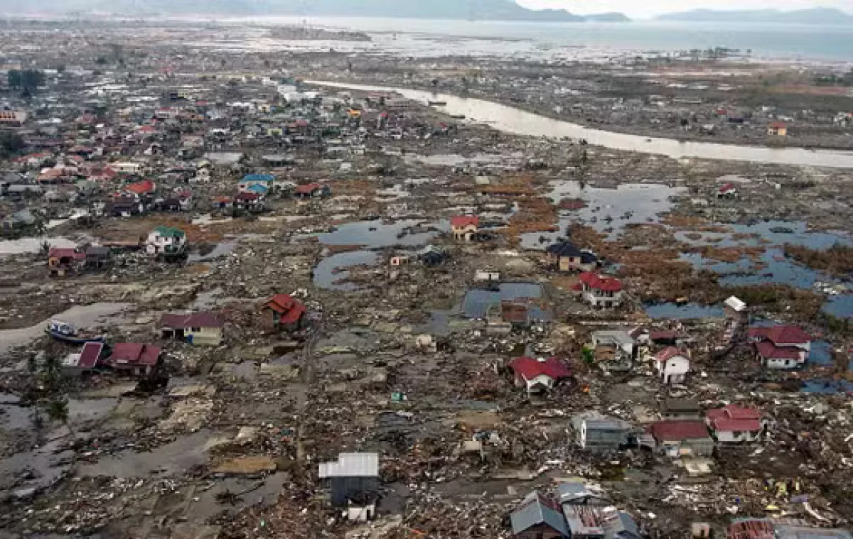
The Indian Ocean tsunami of December 26, 2004 stands as one of the deadliest natural disasters in modern recorded history, claiming approximately 230,000 lives and devastating 14 countries including tens of thousands of people that still remain missing. In the aftermath of the catastrophe, international collaboration between governments, academic bodies and international organizations have emerged to prevent similar tragedies and improve early warning detection systems.
The catastrophe stemmed from a magnitude 9.3 earthquake off Sumatra, the third strongest ever recorded, causing a rupture over 1,000 kilometers beneath the sea. Indonesia suffered the greatest loss, with 131,000 fatalities, making it the deadliest disaster in the country's history. As pointed out by Al Jazeera, ther heavily impacted nations included Sri Lanka and Thailand, while the farthest recorded fatality occurred in Port Elizabeth, South Africa. Among the dead were also many tourists that were spending their Christmas holidays on the shores of the Indian Ocean, with Sweden and Germany reporting the highest casualties with over 500 tourist deaths each.
Birth of a Tsunami Early Warning System
Researchers at Germany's Research Centre for Geosciences (GFZ), alongside global partners, conceptualized a tsunami early warning system only days following the disaster. According to the insitute's article dedicated to the bitter anniversary, GFZ’s tsunami modeling engineer Andrey Babeyko recalls that the tsunami caused great shock through the geosciences community as they “theoretically” knew that “such severe quakes could occur, but the extent of the rupture zone over more than 1,000 kilometres and the devastating floods in particular were a surprise." Before 2004, such systems existed only for the Pacific, managed by the US and Japan.

Recognizing the urgent need, the German government initiated the development of the German-Indonesian Tsunami Early Warning System (GITEWS) in January 2005, a consortium involving nine partners, including GFZ, the German Aerospace Center (DLR), and the Alfred Wegener Institute for Polar and Marine Research. By 2011, the system, renamed InaTEWS (Indonesia Tsunami Early Warning System), was fully operational under Indonesian management.
The heart of InaTEWS is SeisComP, a software that analyzes data from hundreds of seismic stations. It detects earthquakes that could trigger tsunamis and combines the data with thousands of pre-calculated tsunami simulations. Warnings are generated within minutes and evaluated by trained experts in Jakarta. InaTEWS has monitored thousands of earthquakes since 2007, issuing warnings for over a dozen tsunamis, including significant events near Benkulu in 2007 and North Sumatra in 2010 and 2012.
Challenges and Limitations
While these advancements have saved lives, gaps remain, especially in detecting tsunamis caused by landslides or volcanic activity. The waves triggered by some tsunamis also reached the shores too quickly for warnings to be issued. For instance, in the 2010 Mentawei and 2018 Palu tsunamis, waves struck within minutes of the quakes, rendering the system ineffective. Additionally, the 2018 tsunami in the Sunda Strait, triggered by a volcanic landslide at Anak Krakatau, went undetected due to the absence of a strong earthquake signal.
The system’s limitations highlight the need for public awareness. As Jörn Lauterjung, former head of GITEWS, emphasized, natural warning signs, like prolonged shaking from an earthquake, remain to be reliable warnings that can be detected the earliest, which can provide critical time to evacuate coastal areas.

Advances in Tsunami Detection
Technological innovations continue to improve tsunami early warning systems. Between 2020 and 2023, the EWRICA project integrated real-time data from high-precision satellite navigation systems (GNSS) to enhance the estimation of seismic moments, depth, and rupture direction of earthquakes. This development aids in better predicting secondary effects, such as tsunamis, and is being tested by Indonesian agencies.
Additionally, there is growing interest in using underwater telecommunication cables as sensors for monitoring earthquake zones and detecting tsunamis. Distributed Acoustic Sensing (DAS) technology repurposes optical fibers to measure strain caused by subsurface movements, offering the potential to monitor both earthquake waves and water column disturbances. Promising work in Europe has led to projects like SUBMERSE, launched in 2023, to further develop this technology.
Experts warn of complacency in pro-active approach
Despite technological progress, experts expressed their fears to Al Jazeera, warning of complacency as the memory of the 2004 disaster fades. Tsunamis are not rare events; on average, two tsunamis each year cause deaths or significant damage. The 2011 Japan tsunami, which resulted from the fourth most powerful earthquake ever recorded, is a stark reminder of their ongoing threat.
Concerns about preparedness were central to discussions at a December 2024 symposium in London, marking the 20th anniversary of the Indian Ocean tsunami. Experts emphasized that while early warning systems and sea defenses have improved significantly, continuous investment in research, technology, and public education is essential to mitigate future disasters.
By Nazrin Sadigova


