










Archaeological exploration begins at historic Shindan Castle in Azerbaijan PHOTO
Archaeological exploration has begun at Shindan Castle, one of the important historical and archaeological monuments in Azerbaijan’s southern region, local media reports.
Located approximately 6–7 kilometres southwest of the village of Sim in Astara District, on one of the high peaks of the Talysh Mountains near the Iranian border, Shindan Castle is considered one of the region’s significant historical and archaeological sites.
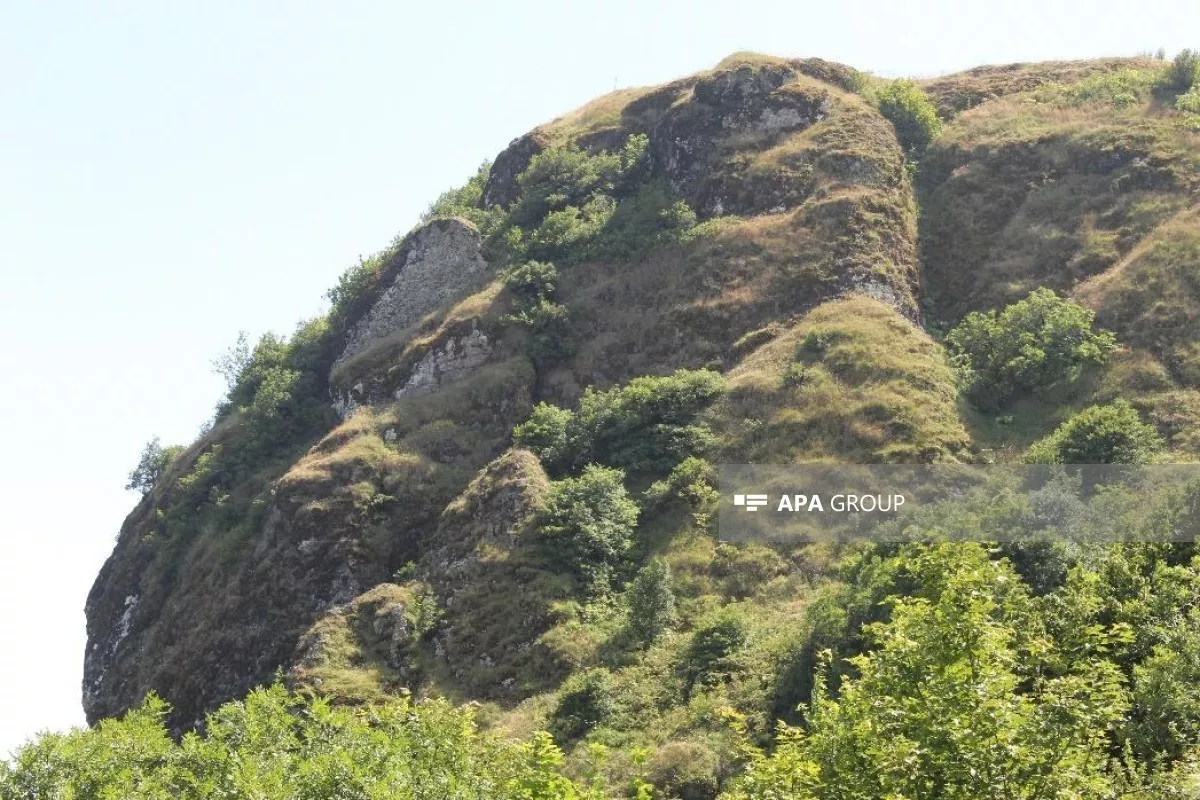
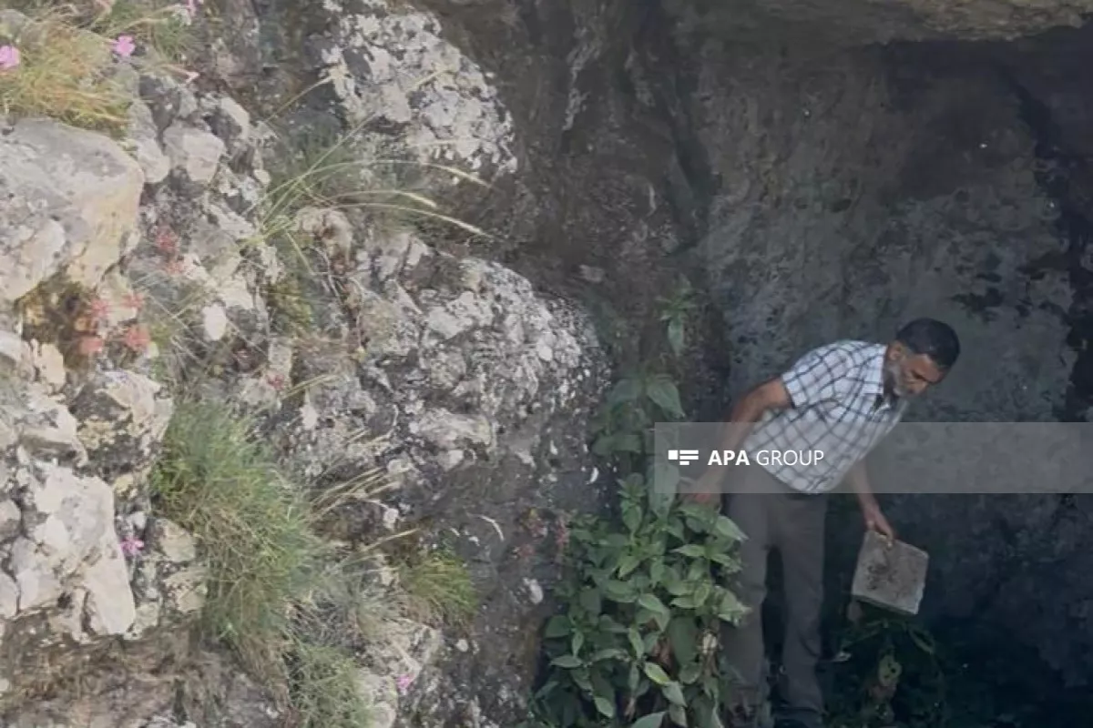
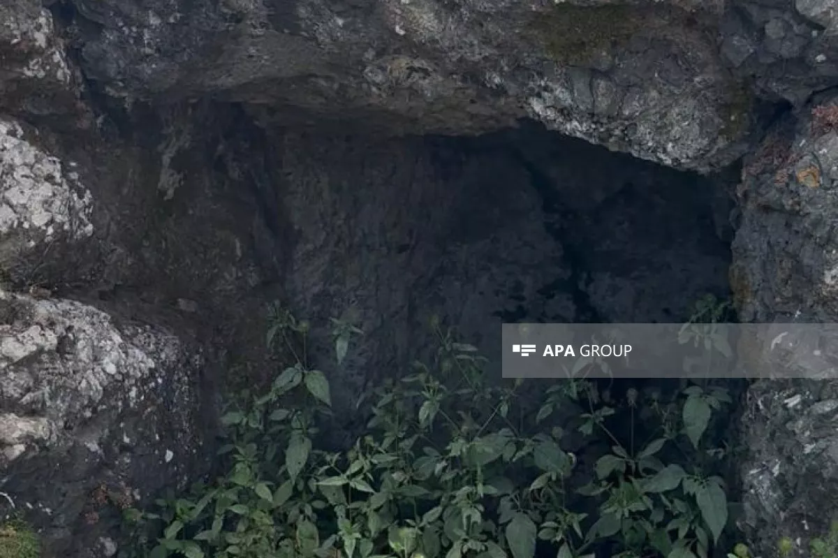
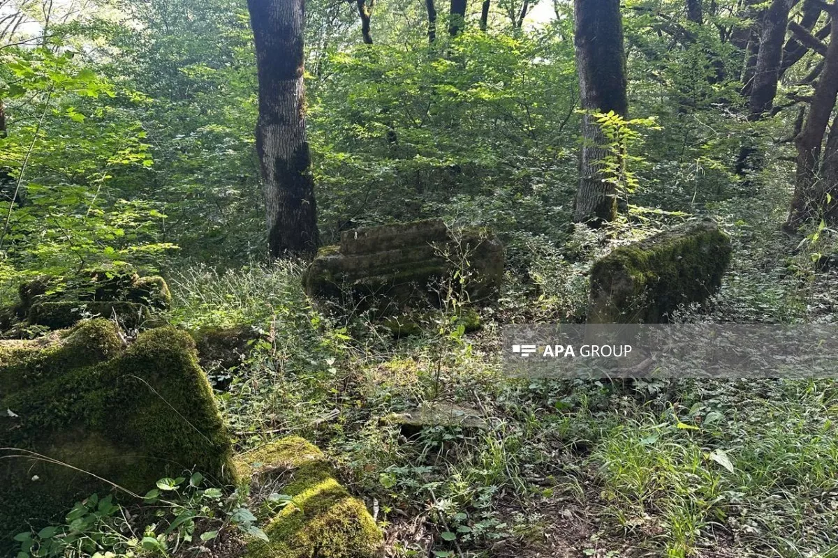
Although visual inspections did not reveal clearly preserved monumental fortress walls above ground, new archaeological traces have been identified at the site.
In particular, a natural rock cave, or shelter, measuring approximately 10 metres in length was recorded within the castle grounds. Observations showed that the upper and side sections of the shelter are formed by natural rock formations, while no regular masonry characteristic of a constructed rock wall is visible on its interior surface. The entrance also appears to have formed naturally as a result of rock erosion.
At the same time, researchers observed remains of a wall built from fired red bricks, each measuring approximately 22 × 22 centimetres, along with fragments of ceramic material inside the shelter, in an area close to the base of the rock.
Although the exact function of the structure has not yet been established, researchers believe it may have served as a storage facility. The ceramic fragments discovered at the site are preliminarily attributed to the medieval period. However, further typological and laboratory analyses are required to establish their precise chronological attribution.
Shindan Castle is already documented as an abandoned architectural monument. Historical descriptions place the castle at an altitude of approximately 7,000 feet, on an isolated and rocky peak. Its lower section was reportedly enclosed by a substantial stone wall reinforced with towers, although the fortification had already fallen into ruin by that time.
Higher up the mountain, historical accounts describe a second stone wall, the ruins of various structures and, at the highest point, a flat stone platform, a cistern or water reservoir, and an elongated structure.
The fact that the castle’s defensive walls were already described as being in a ruined condition in an 1833 account helps explain why, 193 years later, monumental remains are no longer clearly visible above ground. It also points to the long-term impact of natural erosion and deterioration on the site.
In addition to written historical sources, the monument’s name and geographical location provide grounds for drawing certain conclusions about its historical function and significance.
By Jeyhun Aghazada







 editor@caliber.az
 +994 55 444-88-98
 Азербайджан, Баку, ул. Низами, 203, Af Business House, 5-й этаж