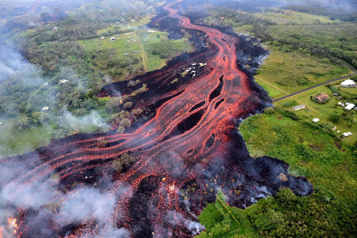
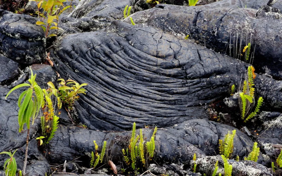
Warning signs plants are giving us ahead of volcanic eruptions
Volcanoes possess immense power, with much of their activity occurring beneath the surface before an eruption. While traditional monitoring tools like seismic measurements and gas sampling are critical, they often miss subtle signs of unrest, especially in remote areas. Researchers are now exploring a novel approach—using plant life as indicators of volcanic activity.
As magma rises, it releases gases like carbon dioxide (CO₂), which can significantly influence the surrounding environment. Detecting these gases can be challenging, an article by the Earth publication points out, seeing as they are also produced by non-volcanic processes. Remote volcanoes without permanent sensors are particularly difficult to monitor, prompting scientists to consider plants as natural indicators of volcanic unrest.
A study led by Robert Bogue of McGill University examined vegetation health around hydrothermal areas in Yellowstone Caldera. The findings that were published in the Geochemistry, Geophysics, Geosystems journal, revealed that changes in plant growth could correlate with underground volcanic activity, potentially offering an early warning of eruptions.
Plants as Allies in Volcanic Monitoring
Plants respond to environmental shifts by altering their growth, photosynthesis rates, and leaf structures. Factors such as CO₂ levels, sulfur presence, and soil temperature changes—common in volcanic regions—affect plant health. These stressors may manifest in plant tissues months or even years before significant volcanic events occur.
Monitoring such changes is not straightforward. Dense forests and natural growth variations caused by weather can obscure subtle signals. Satellite imaging, however, enables researchers to detect faint patterns of stress or unusual growth over large areas, making it a valuable tool in volcanic studies.

The Normalized Difference Vegetation Index (NDVI) measures plant photosynthesis activity by analyzing chlorophyll levels. NDVI scores, ranging from negative values to 1, provide insights into plant health. By tracking these scores over time, researchers can identify trends that may signal subsurface changes.
In volcanic areas, initial bursts of CO₂ and nutrient-rich fluids can enhance plant growth. However, prolonged exposure to toxic gases or heated soil can harm or kill vegetation. Observing these patterns over extended periods helps reveal the progression of underground activity.
Yellowstone case study
At Tern Lake in Yellowstone Caldera, archived Landsat satellite data from 1984 to 2022 provided a unique glimpse into vegetation changes. For 16 years, tree health improved, likely due to nutrient enrichment. Around the early 2000s, the trend reversed as toxic gases and high soil temperatures stressed and killed many lodgepole pines near hydrothermal activity centers.
Infrared data confirmed soil temperatures exceeding 122°F, with acidic fluids further degrading plant tissues. Over time, the stress zone expanded, creating a visible patch of dead trees. These changes were linked to hydrothermal fluids finding new pathways as old routes clogged with mineral deposits. Supporting earthquake data revealed small tremors, suggesting shifting magma or fluid movements beneath the surface.
Interestingly, recent observations show new seedlings taking root in previously barren areas, indicating a potential period of calm.

Implications for Volcanic Monitoring
These findings demonstrate how forests can serve as indicators of underground volcanic processes. While traditional tools like thermal cameras and gas detectors remain essential, they have limitations in remote or rugged areas. Satellite imagery complements these methods by providing broad coverage and identifying regions requiring closer inspection.
Vegetation monitoring is not a standalone solution but can offer crucial early warnings. For instance, unusual patterns of greening or die-off might prompt scientists to deploy instruments or conduct fieldwork well in advance of an eruption.
Every volcano is unique, with diverse environments ranging from dense forests to arid deserts. Where sufficient plant life exists, vegetation indices can help identify potential volcanic unrest. In regions where vegetation monitoring is less effective due to factors like drought or wildfires, combining plant data with other signals—such as ground swelling, minor quakes, and gas composition changes—can provide a more comprehensive picture.
The Tern Lake study underscores the potential of forests as natural early warning systems for volcanic activity. By refining these techniques and integrating them with traditional monitoring methods, scientists aim to improve hazard assessment and response. With continued advancements, early alerts might become more accurate, allowing for greater safety and preparedness in the face of volcanic threats.
By Nazrin Sadigova


