Azerbaijan participates in groundbreaking mapping conference of OTS countries in Türkiye PHOTO
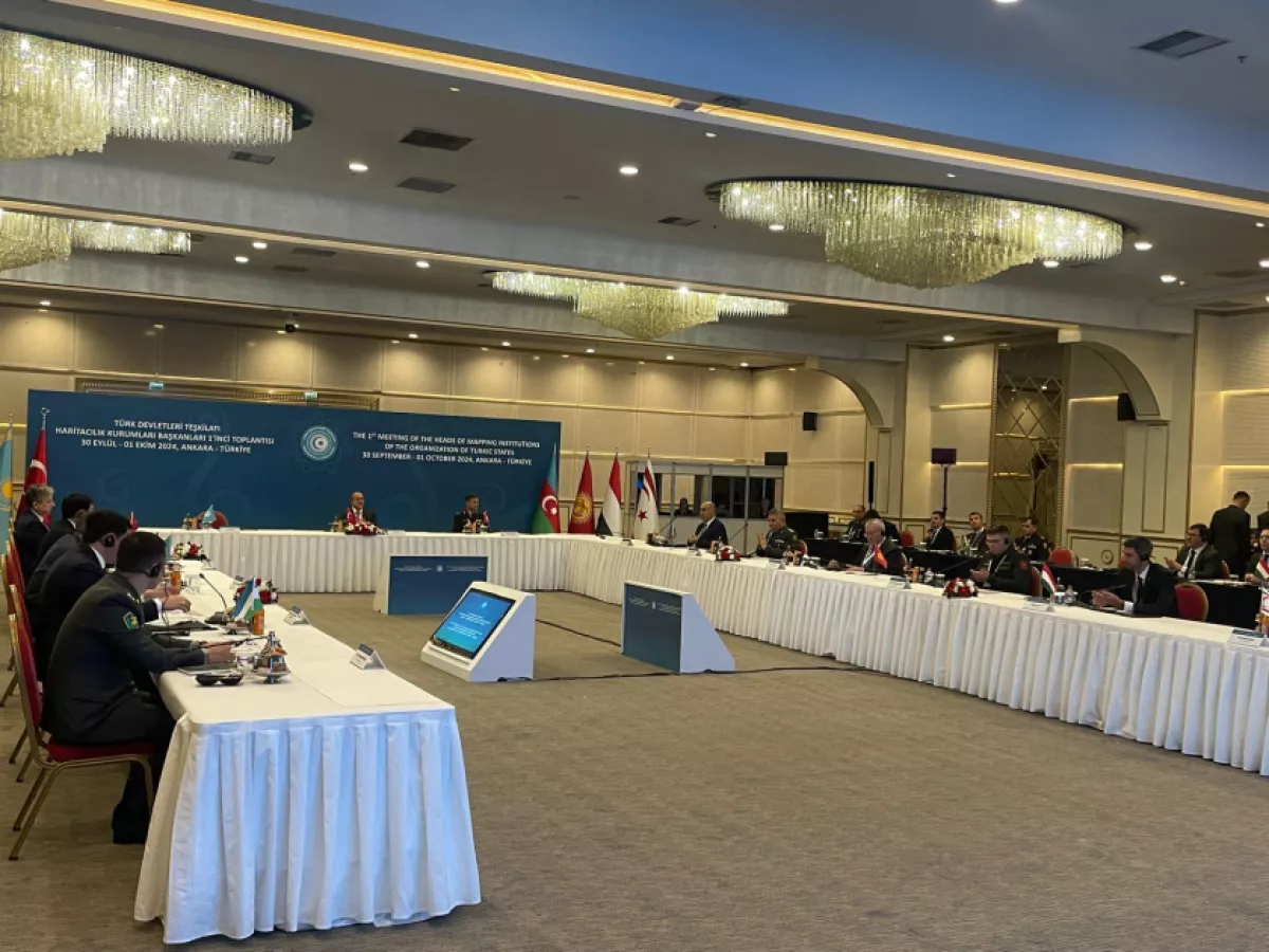
The First Meeting of the Heads of Mapping Authorities from the member countries of the Organization of Turkic States (OTS) commenced at the General Directorate of Mapping under the Turkish Ministry of National Defence on September 30.
Participants at the two-day meeting will discuss ways to enhance cooperation in mapping, with Azerbaijan represented by Nazim Ismayilov, the chairman of the Mapping and Geodesy Agency, Caliber.Az reports, citing local media.
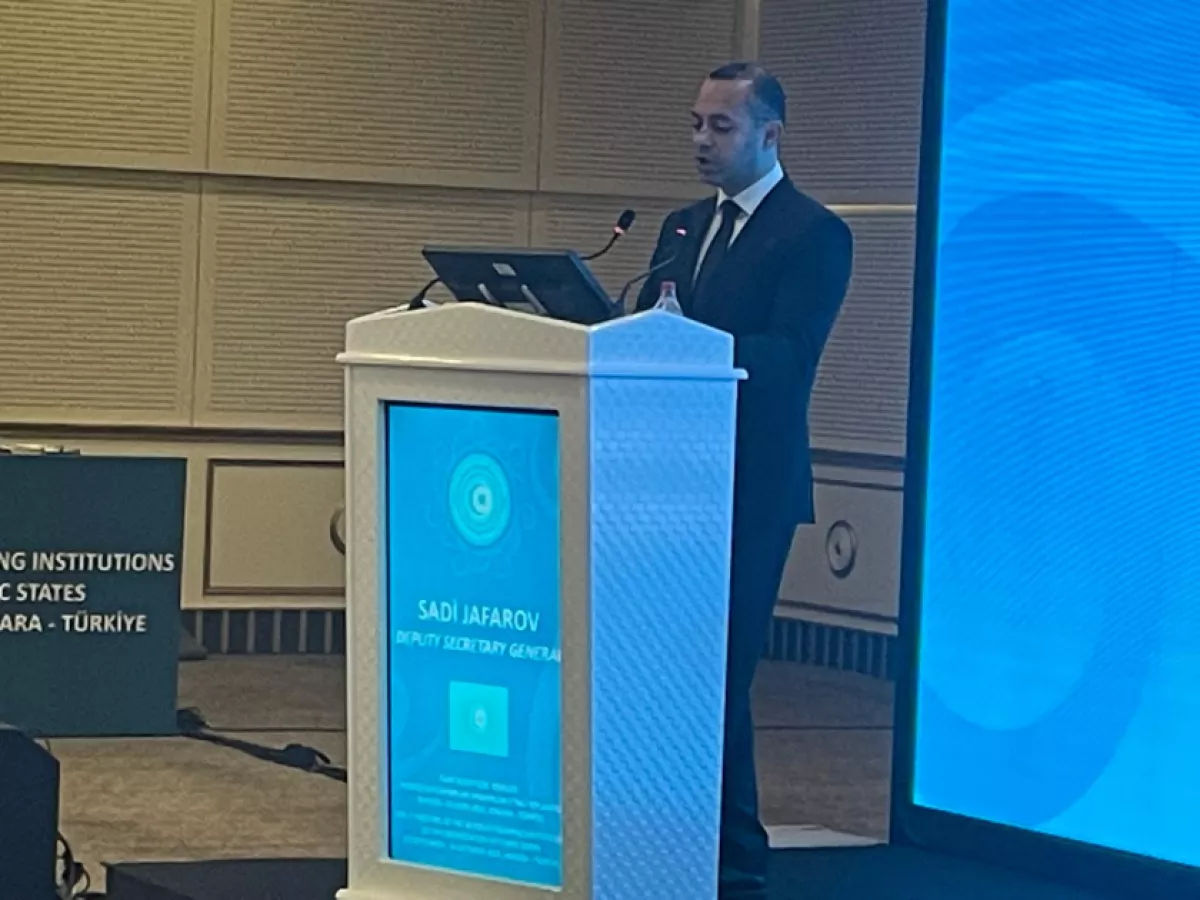
Sadi Jafarov, the Deputy Secretary-General of the OTS, highlighted the importance of collaboration among Turkic states across various fields, including mapping.
"The significance of geodesy and cartography in the modern world is increasing. Maps are used in environmental monitoring, urban planning, military affairs, and many other areas, helping to establish cooperation among states," he stated.
Jafarov also expressed the OTS's readiness to contribute to further rapprochement among Turkic countries.
General Osman Alp, Director of the General Directorate of Mapping at the Turkish Defence Ministry, discussed ongoing projects within his agency and its close collaboration with the academic community and universities.
The Turkish Mapping Authority plays a crucial role alongside the Ministry of Defence, providing services to state institutions, private and legal entities.
"Cartography at the modern stage has become an integral part of public life. The data from our authority is widely used for management, development, and the design of infrastructure programmes and projects," stated O. Alpay.
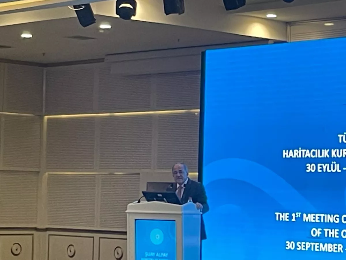
He emphasised that the General Directorate of Mapping, established 129 years ago, is ready to share its accumulated experience and data with friendly countries. The importance of cooperation with Turkic states was also highlighted by the Türkiye’s Deputy Minister of National Defence Şuay Alpay.
According to him, cartography plays a vital role in making strategically significant decisions in many areas of state life.
"The effective use of maps facilitates the life of society and assists in addressing the tasks of the Ministry of Defence," confirmed Ş. Alpay.
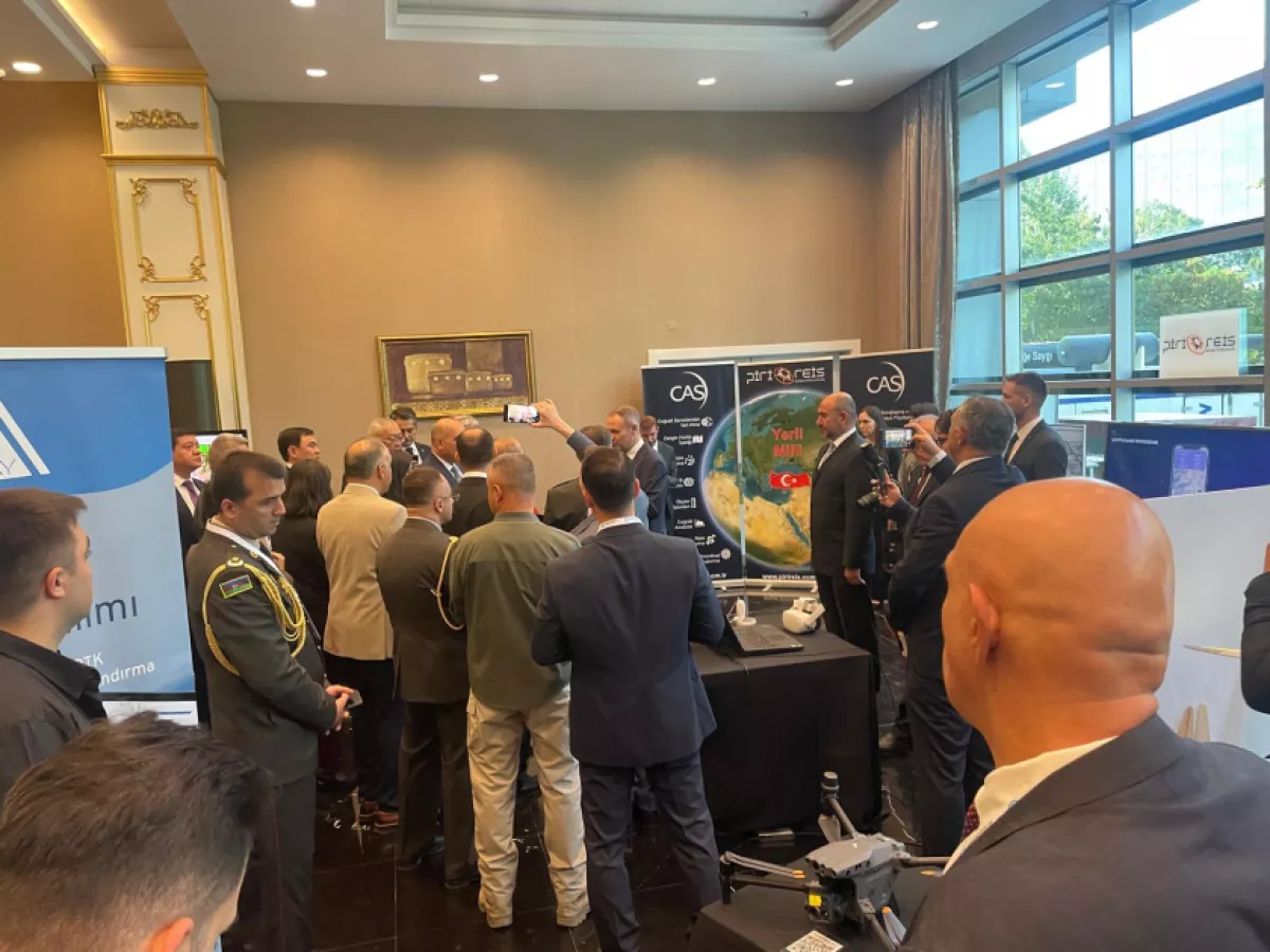
A decision has been made to create a working group tasked with determining specific areas of interaction in geodesy and cartography. The event also featured an exhibition showcasing Türkiye’s achievements in cartography, including the application of space technologies.
By Aghakazim Guliyev


