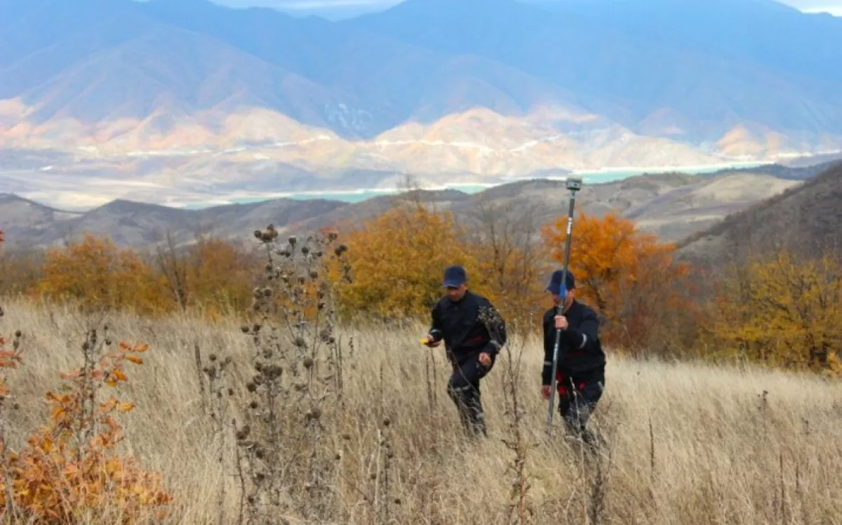
Azerbaijan’s state service conducts cadastral works in Aghdara district
The State Service on Property Issues of Azerbaijan has completed field measurement and research works covering more than 153,516 hectares in Aghdara district as part of the ongoing restoration of the land cadastre in the liberated territories.
The agency outlined plans for 2024 that include land surveying works on 166,091 hectares, field soil research on 134,704 hectares, and geobotanical research across the district, Caliber.Az reports.
These efforts will help clarify the volume and composition of the land resources in Aghdara, aligning them with their intended purpose.
Specialists are using modern equipment to determine the coordinates of destroyed settlements, as well as agricultural, forest, and other types of land, ensuring all components within their boundaries are accurately identified. The field measurements are conducted with GPS technology through continuously operating AzPOS stations.
The results of the soil and geobotanical surveys are being entered into a unified electronic cadastral registration system. This will facilitate the creation of a state cadastre for real estate, enhance land use and protection, and support effective management of land resources in the liberated territories, according to the State Service.

By Vafa Guliyeva


